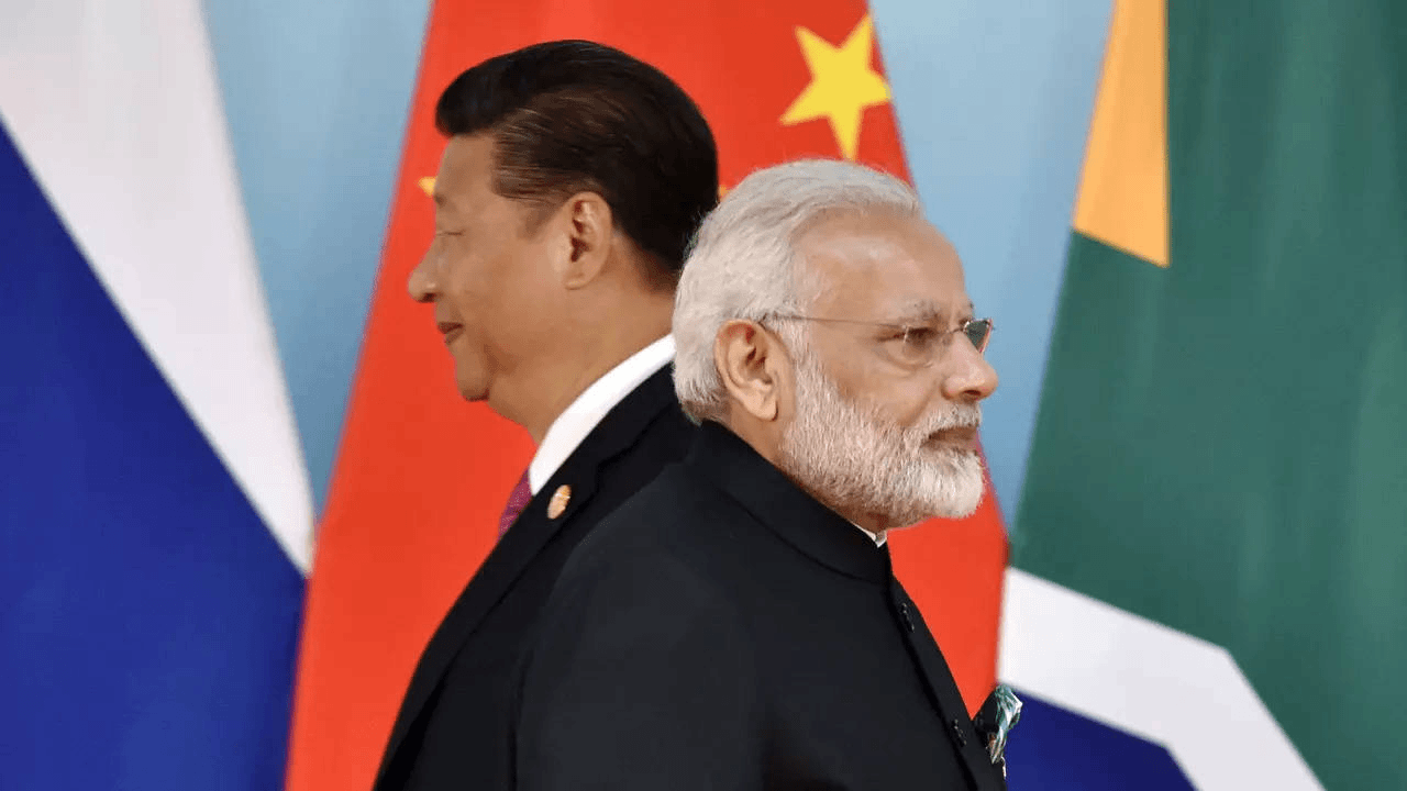
Governments of Philippines, Malaysia, Vietnam, and Taiwan, along India, have dismissed China’s recently published national map. They have issued strong statements accusing Beijing of asserting territorial ownership over their territories.
China recently introduced a revised edition of its national map on Monday, aiming to rectify what it has previously criticized as misleading maps. China argues that these maps inaccurately depict its territorial limits.
India, on the following Tuesday, lodged a firm complaint with China regarding its “standard map,” which asserts control over Arunachal Pradesh and the Aksai Chin region. India emphasized that such actions only complicate the resolution of boundary disputes.
The Ministry of External Affairs in India also dismissed China’s assertions as lacking a valid foundation.
In response to China’s action, External Affairs Minister S Jaishankar stated, “Just making absurd claims does not make other people’s territories yours”.
On Thursday, the Philippine government strongly criticized China’s 2023 version of its self-proclaimed “standard map,” which continues to depict significant portions of Philippine geographical elements within the West Philippine Sea.
On August 28, the Chinese Ministry of Natural Resources released a contentious map incorporating the nine-dash line, now expanded to ten dashes. This line purportedly delineates China’s territorial limits in the South China Sea.
“This latest attempt to legitimise China’s purported sovereignty and jurisdiction over Philippine features and maritime zones has no basis under international law, particularly the 1982 United Nations Convention on the Law of the Sea (UNCLOS),” Foreign Affairs Spokesperson Ma. Teresita Daza said in a statement.
Daza stated that the 2016 Arbitral Award has effectively nullified the nine-dashed line, urging China to uphold its responsibilities according to UNCLOS.
“(The award) categorically stated that ‘maritime areas of the South China Sea encompassed by the relevant part of the ‘nine-dash line’ are contrary to the Convention and without lawful effect to the extent that they exceed the geographic and substantive limits of China’s maritime entitlements under the Convention,” Daza was quoted as saying by the media.
“The Philippines, therefore, calls on China to act responsibly and abide by its obligations under UNCLOS and the final and binding 2016 Arbitral Award,” she added.
Back in 2013, Manila had previously raised objections against a Chinese national map that included sections of the Kalayaan Island Group or Spratlys as part of China’s “national boundaries.”
On Thursday, the Malaysian government announced its intention to deliver a formal protest letter to China regarding China’s assertions in the ‘China Standard Map Edition 2023’ concerning the South China Sea. This map also encompasses Malaysia’s maritime regions.
Dr. Zambry Abdul Kadir, the Foreign Minister, mentioned that this action was a subsequent measure by the government in response to the issue.
“This has been our practice (when dealing with issues like this)… and based on the statement issued by Wisma Putra yesterday, the next step includes sending a protest note,” he was quoted as saying by the official Bernama news agency.
The Malaysian Foreign Ministry stated on Wednesday that Malaysia does not acknowledge China’s assertions in the South China Sea, as depicted in the “China Standard Map Edition 2023,” which also covers Malaysia’s maritime zones.
The map holds no authoritative significance for Malaysia, the ministry mentioned in an official statement.
Similarly, the Vietnamese government criticized China’s recent action. Vietnam vehemently reiterates its steadfast position regarding sovereignty over the Hoang Sa (Paracel) and Truong Sa (Spratly) islands. The country firmly rejects any maritime claims by China based on the “nine-dash line” in the East Sea.
Spokeswoman Pham Thu Hang from the Vietnamese Ministry of Foreign Affairs made this statement on Thursday in response to questions from reporters about Vietnam’s reaction to China’s release of the so-called “standard map 2023,” which encompasses Vietnam’s Hoang Sa and Truong Sa islands, as reported by the official Vietnam News Agency.
The issuance of the map and China’s reliance on the “nine-dash line” claim constitute a violation of Vietnam’s sovereignty over Hoang Sa and Truong Sa islands, as well as the nation’s sovereign rights and jurisdiction over its waters, as outlined in the 1982 United Nations Convention on the Law of the Sea (1982 UNCLOS).
The spokeswoman emphasized that the sovereignty and maritime claims based on the “nine-dash line” depicted in the map are null and violate international law, particularly the 1982 UNCLOS.
Taiwan’s Ministry of Foreign Affairs rebuked China’s latest “standard map” on Wednesday, asserting that Taiwan has never been under the governance of the People’s Republic of China (PRC).
Taiwan News reported that foreign ministry spokesperson Jeff Liu stated, “Taiwan, the Republic of China, is an independent and sovereign nation separate from the People’s Republic of China. Taiwan has never been ruled by the People’s Republic of China. These are universally acknowledged facts and the established state of affairs in the global community.” Meanwhile, China’s foreign ministry indicated it remains steadfast on the map issue.
China maintains a steadfast and lucid stance regarding the South China Sea. The capable Chinese authorities regularly release standardized maps of diverse kinds each year, with the intention of providing accessible standard maps to all segments of society and enhancing public recognition of proper map usage.
In reaction to inquiries about the objections raised by nations such as India, Malaysia, and the Philippines concerning the recent Chinese map, Foreign Ministry Spokesperson Wang Wenbin stated on Thursday, “We hope parties concerned can view it in an objective and rational light”.
Also Read: US Presidential Candidate Vivek Ramaswamy Expresses Admiration for PM Modi’s Leadership


